

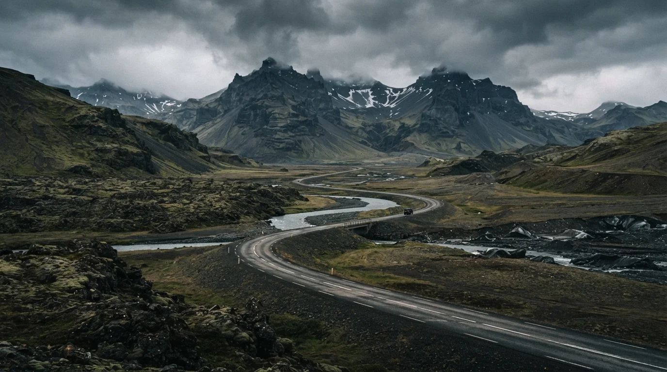
What the Route Actually Covers
Route 1 begins and ends in Reykjavik, looping clockwise or counterclockwise around Iceland's entire coastline. The southern section — from Reykjavik through the South Coast to Jökulsárlón glacier lagoon — is the most heavily traveled, largely because it concentrates a high density of well-known landmarks within manageable driving distances. Waterfalls like Skógafoss and Seljalandsfoss sit directly on or just off the highway.
The eastern fjords and northern stretches are considerably quieter. The Eastfjords region involves winding roads through narrow coastal valleys — scenic, but slower going than the south. The north offers Akureyri (Iceland's second-largest city), whale-watching towns, and the Mývatn geothermal area, all worth building time into the itinerary.
The full loop returns westward through the Snæfellsnes Peninsula region and back to the capital. Travelers who only follow Route 1 strictly will still cover substantial ground; those who want inland or highland experiences will need to plan separate side trips — ideally with an appropriate vehicle.
Time, Daylight, and Seasonal Realities
Iceland's daylight swings are extreme. In late June, the sun barely sets — giving drivers nearly unlimited daylight hours. In December, usable daylight shrinks to four to five hours per day. This has a direct practical effect on how far you can travel safely and what you can actually see when you arrive.
Summer (June–August) is when the Ring Road is most accessible: all paved sections of Route 1 are open, rental options are widest, and accommodation is available in most towns. It is also the busiest period, and popular areas can feel crowded.
Shoulder seasons — May and September — offer a middle ground: fewer visitors, lower costs in some cases, and reasonable daylight. Winter travel is for experienced cold-weather drivers comfortable with icy roads, whiteout conditions, and the very real possibility of being stopped by road closures. The Icelandic Road and Coastal Administration (Vegagerðin) maintains a real-time road condition map that travelers should consult daily regardless of season.
Check Road Conditions Every Morning
The Icelandic Road and Coastal Administration (road.is) updates road conditions in real time. Checking this each morning before driving — not just at trip start — is the most reliable way to avoid unexpected closures or dangerous conditions. Conditions can shift within hours, especially outside summer.
Weather, Road Conditions, and Staying Safe
Wind is Iceland's most underestimated hazard. Gusts strong enough to push vehicles off course or make opening a car door dangerous are common, especially in exposed coastal and highland areas. High-profile vehicles — campervans and SUVs — are particularly vulnerable.
Single-lane bridges appear frequently on Route 1 and require drivers to yield in turn. Sudden fog and rain can reduce visibility within minutes. Sheep wander onto the road in rural areas year-round. Driving distracted or fatigued on Iceland's roads carries real consequences.
Emergency infrastructure is more limited outside populated areas. The 112 Iceland app is recommended by Icelandic authorities for registering travel plans and accessing emergency services in remote regions. Travel insurance that covers emergency evacuation is worth understanding before departure — verify specifics with your insurer and check government travel advisories for Iceland before booking.
828 mi
Total length of Route 1
Iceland's Ring Road covers approximately 828 miles (1,332 km) as it circles the island.
4–5 hrs
Usable daylight in peak winter
Daylight in Iceland in December can drop to as few as four to five hours, significantly limiting safe driving time.
60–100 mi
Distance between fuel stations in remote areas
In the eastern and northern stretches of Route 1, gas stations can be separated by 60 to 100 miles.
Planning Around the Unexpected
Building buffer days into the itinerary is one of the most practical things a Ring Road traveler can do. Roads close. Weather grounds plans. A waterfall is more rewarding when you have time to walk to it rather than stopping for two minutes before driving on.
Accommodation along the Ring Road ranges from guesthouses in small towns to campsites — but in peak summer, availability in popular areas books out well in advance. In more remote eastern sections, options thin considerably, making advance reservations more important.
Fuel, as noted, requires active planning in the east and north. Most stations accept international credit cards, but having a backup payment method is sensible. Cell coverage drops in some stretches, so downloading offline maps before leaving each town is a reliable precaution rather than an optional one.
The Ring Road is legitimately one of the more accessible self-drive routes in the world — but accessible does not mean effortless. Travelers who research conditions, drive conservatively, and leave room for changes consistently report a more rewarding experience than those who treat it as a fixed schedule.
Frequently Asked Questions
Most travelers allow 10–14 days to drive the full loop comfortably, accounting for stops, weather delays, and side trips. A minimum of 7 days is technically possible but leaves little margin for disruptions or meaningful exploration.
Route 1 itself does not require 4WD, but many worthwhile detours do. A 4WD vehicle provides significantly more flexibility, especially in winter when road conditions deteriorate quickly. Always check Icelandic Road Administration conditions before driving.
June through August offers the longest daylight and most reliable road access, making it the most practical window. Winter driving (November–March) is possible but introduces serious weather risks and limited light, and some roads may close entirely.
Route 1 is paved and generally well-marked, but Iceland's driving conditions — wind, sudden ice, single-lane bridges, and highland weather — require attentiveness. Inexperienced drivers should research Iceland-specific hazards and drive conservatively, particularly outside summer.
Gas stations exist along the route but can be spaced 60–100 miles apart in remote eastern and northern sections. Travelers should fill the tank at every opportunity rather than waiting until the gauge is low.
The content on this site is for informational purposes only and is not a substitute for professional advice. Always consult a qualified professional for guidance specific to your situation.