

How the West's Parks Break Down by Region
The American West contains more than 60 designated national parks, spread across terrain types so different from one another that grouping them by region is the most practical way to orient yourself before booking a trip. Each geographic zone has its own climate rhythms, crowd patterns, and infrastructure demands — understanding those differences saves you from mismatched expectations.
| Total national parks in the US | 63 designated national parks (National Park Service) |
| Busiest western park by visitation | Grand Canyon (South Rim) (NPS visitation data) |
| Peak season across most western parks | June through August |
| Recommended shoulder seasons | April–May and September–October |
| America the Beautiful Pass coverage | Covers entrance fees at all NPS sites (Valid for 12 months from purchase) |
| Parks requiring advance permits for popular hikes | Zion, Grand Canyon (Rim-to-Rim), Half Dome in Yosemite, and others (Verify current requirements at nps.gov) |
The four most commonly used planning regions are the Colorado Plateau (the canyon country of Utah and northern Arizona), the Sierra Nevada and Pacific Coast (California's mountain and coastal parks), the Pacific Northwest (Washington and Oregon), and the Mountain West (the Rockies corridor running through Wyoming, Montana, and Colorado). Each is detailed below.
Colorado Plateau: Canyon Country
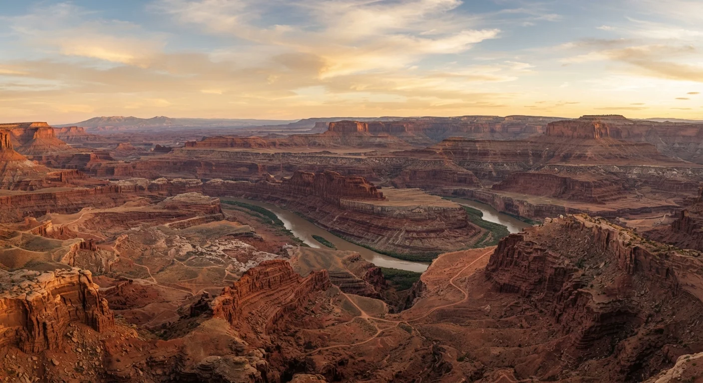
This high-desert plateau is where geology dominates. Parks like Grand Canyon, Zion, Bryce Canyon, Canyonlands, and Arches all occupy this region. What they share: exposed sedimentary rock, extreme temperature swings between day and night, and intense summer heat at lower elevations. Spring (April–May) and fall (September–October) are widely considered the most comfortable windows for hiking.
Visitor infrastructure ranges from highly developed — Grand Canyon South Rim has year-round lodging, shuttle systems, and paved overlooks accessible without hiking — to comparatively remote. Canyonlands' Needles and Maze districts require high-clearance vehicles and advance planning. Permit systems are now common: Zion's Angels Landing and The Narrows both require reservations during peak seasons. Check the official NPS website for the current permit structure before planning specific hikes.
Water is the defining logistical challenge here. Many canyon trails have no water sources, and dehydration is a genuine risk. Rangers consistently advise carrying more water than you think you need and starting hikes before sunrise during warmer months.
Sierra Nevada and Pacific Coast: California's Crown Parks
Yosemite, Sequoia, Kings Canyon, Joshua Tree, and Channel Islands represent California's varied landscape range — from granite mountain valleys to the Mojave-adjacent desert to offshore island ecosystems. These parks attract some of the highest visitation numbers in the country, particularly Yosemite Valley, which operates a timed-entry reservation system during peak season.
The Sierra Nevada parks are largely snowbound from November through May at higher elevations, making summer the dominant visitor window — and the most crowded. Joshua Tree sits at the convergence of two desert ecosystems and is most pleasant October through April; summer temperatures regularly exceed 100°F. Channel Islands requires a ferry and rewards visitors with relative solitude, wildlife viewing, and sea kayaking but demands more logistical planning than road-accessible parks.
Timed-entry reservation
A system where visitors must book a specific arrival window in advance to enter a park or access a particular area. Designed to reduce peak-hour congestion and protect sensitive ecosystems.
Wilderness permit
A permit required for overnight backcountry camping in designated wilderness areas within national parks. Quotas limit daily permit numbers to control environmental impact.
Shoulder season
The period just before or after a destination's peak season. Conditions are generally good but crowds and prices are lower — typically spring and fall for most western parks.
Caldera
A large volcanic depression formed when a magma chamber empties and collapses. Crater Lake, Oregon, sits inside one of the best-preserved calderas in North America.
Point Reyes National Seashore and Redwood National and State Parks anchor the coastal end of this region, offering temperate fog-draped environments year-round that contrast sharply with the desert parks to the south.
Pacific Northwest and Mountain West: Forests, Glaciers, and High Peaks
Olympic and North Cascades in Washington, Crater Lake in Oregon, and then — moving east — Glacier, Grand Teton, and Rocky Mountain National Park form a corridor of alpine and subalpine terrain. These parks share a short summer window (July–September) when high-elevation roads and trails are reliably snow-free.
Glacier National Park is notable for its iconic Going-to-the-Sun Road, which connects the park's east and west sides but requires a vehicle reservation to drive during peak season. Road opening dates vary by snowpack year to year — always verify current conditions through NPS before building an itinerary around it.
Crater Lake, the deepest lake in the United States, sits inside a volcanic caldera and is accessible year-round on the south side, though the north rim road typically closes from late October to early July due to snow. Grand Teton and Yellowstone (technically spanning Wyoming, Montana, and Idaho) are frequently paired as a two-park itinerary given their proximity, though Yellowstone alone is large enough to require multiple days for meaningful coverage.
Wildlife viewing is a major draw in the Mountain West: bison, wolves, bears, and elk are present but require safe-distance protocols. NPS guidelines specify minimum distances from wildlife — following them protects both animals and visitors.
The content on this site is for informational purposes only and is not a substitute for professional advice. Always consult a qualified professional for guidance specific to your situation.