

What the Brochures Leave Out
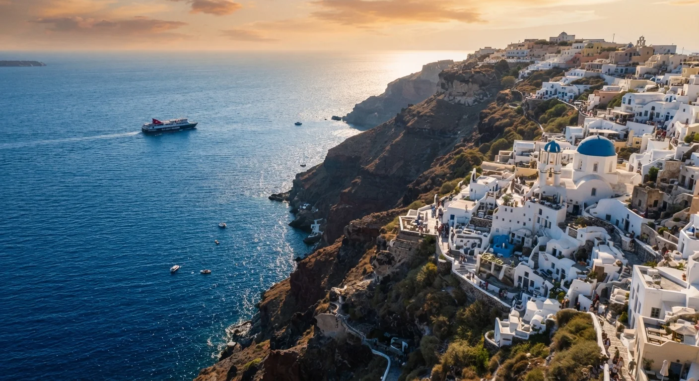
The Greek islands photograph beautifully. Clifftop caldera views, translucent harbors, sun-bleached alleyways — the imagery travels well. What doesn't always travel well is the planning reality: unpredictable ferry windows, islands that are genuinely difficult to navigate without a vehicle, and the gap between a destination's reputation and its on-the-ground experience during peak months.
This guide focuses on the logistical and experiential factors that shape a trip to coastal Greece — the kind of information that helps you match an island (or a combination of islands) to the trip you're actually trying to take. For a broader framework on structuring any destination comparison, see our island comparison guide.
Ferry schedules are the backbone — and the constraint
Inter-island ferries are the primary way most travelers move through the Greek islands, and the network is extensive. But frequency drops sharply outside peak season, and not all islands connect directly. A route that looks simple on a map may require a hub stop — often Piraeus (Athens' main port) or a larger island like Syros or Rhodes — adding a day or more to a leg you assumed was straightforward.
High-speed catamarans cut travel time significantly but are more expensive and more susceptible to cancellation in rough sea conditions. Standard ferries are slower, cheaper, and generally more reliable in terms of operation, though still subject to weather delays. Booking ferry tickets in advance during July and August is strongly advisable, especially for popular routes and cabin berths on overnight crossings.
Not all islands connect directly — hub stops can add a full day to a leg you assumed was quick.
Peak-season crowds reshape the experience on certain islands
Santorini and Mykonos draw the largest international crowds of any Greek islands, and during July and August the volume is considerable. Sunset viewpoints in Oia can attract thousands of visitors simultaneously; queues for popular restaurants stretch well into the evening. For some travelers, this energy is part of the appeal. For others, it directly undermines what they came for.
Islands like Naxos, Milos, Folegandros, and Ikaria offer comparable coastal beauty with meaningfully different crowd dynamics. They're not undiscovered, but they operate at a different scale. Understanding which version of the experience you're optimizing for — iconic and social, or quieter and more independent — is worth deciding before booking, not after arriving.
Crowd density on Santorini and Mykonos in high season can be a trip-defining variable, not a footnote.
Shoulder season involves genuine trade-offs
May, early June, and September are frequently cited as ideal windows for visiting the Greek islands, and the reasoning is sound: temperatures are comfortable, crowds are reduced, and accommodation prices tend to be lower. But shoulder season also means reduced ferry frequency, some beach facilities not yet open or already closed, and — depending on the island — a noticeably quieter atmosphere that some travelers find restful and others find flat.
Smaller, less touristically developed islands can feel particularly quiet outside the core season. If restaurant variety, evening activity, and open amenities matter to your trip, verify what's actually operating during your specific travel window rather than relying on general seasonal guidance. Calling ahead or checking directly with accommodation providers gives a more accurate picture than online listings alone.
Shoulder season's trade-offs are real — verify what's actually open during your specific travel window.
Island geography shapes how you'll actually get around
The Greek islands vary considerably in terrain, size, and internal transport. Santorini's caldera geography means distances that appear short on a map involve significant elevation changes. Crete, as the largest island, has an extensive road network but distances between regions are substantial — the west and east of the island are effectively different destinations requiring either a car or considerable transit time.
Smaller islands like Hydra ban motor vehicles entirely, making it a distinctive experience but also limiting mobility. Many islands have limited or seasonal bus service, meaning a rental car or scooter becomes effectively necessary for independent exploration. Factor in licensing requirements and road conditions — mountain roads on some islands are narrow and demanding — and consider whether your comfort level matches what the terrain requires.
On many islands, a rental vehicle isn't optional — it's the only practical way to reach the best spots.
Multi-island itineraries require careful sequencing
Combining multiple islands in one trip is appealing, but the logistics penalize poor sequencing. Geographically clustering your islands — for example, moving through the Cyclades rather than jumping between island groups — reduces transit time and cost. Moving from the Cyclades to the Dodecanese, for instance, typically requires returning to Athens or taking an infrequent direct route.
A common mistake is planning too many islands in too short a time. Each ferry transit, including travel to and from ports, check-in, and potential delays, can consume most of a day. A two-week trip that includes five islands may feel rushed and logistics-heavy. Solo and group travelers often navigate this differently — solo travelers can adapt on the fly, while groups benefit from more fixed sequencing planned in advance.
Geographically clustering your islands reduces transit time — jumping between island groups rarely goes smoothly.
Water and sun intensity deserve practical planning
The Aegean and Ionian seas are warm in summer but sea conditions can shift quickly, particularly in the Aegean where the meltemi — a seasonal northerly wind — can make exposed beaches uncomfortable and ferry routes choppy for several days at a stretch. The meltemi is most pronounced from mid-July through August and varies in intensity by year and by island exposure.
Sun intensity in the Greek islands during peak summer is significant. Shaded accommodation, reliable access to drinking water, and realistic assumptions about midday outdoor activity all affect comfort. Travelers who plan beach days assuming they'll be active from 10am to 4pm without shade or hydration often find the experience more punishing than the photographs suggested. Early morning and late afternoon are when conditions are most comfortable for extended time outdoors.
The meltemi wind can disrupt ferry routes and beach days for stretches of several days in peak summer.
Planning Your Greek Islands Trip With Clearer Eyes
None of these considerations are reasons to avoid coastal Greece — they're reasons to plan it deliberately. The travelers who come away most satisfied tend to be those who matched their island choices to their actual priorities rather than defaulting to the most recognized names. If you're building an itinerary across multiple stops, structuring your days carefully becomes especially important in a ferry-dependent destination where schedule disruptions can cascade.
Verify Official Entry and Travel Requirements
Entry requirements, health documentation needs, and travel advisories can change. Before finalizing plans, check the Greek government's official tourism resources and your own government's travel advisory page for current guidance. Do not rely solely on third-party travel sites for visa, entry, or safety information.
Factor inter-island transport costs into your overall budget early. Ferry tickets, baggage fees on domestic flights, and port taxes add up — and they're easy to underestimate. Our overview of underestimated trip costs covers similar blind spots across destination types. For a full planning framework, the complete trip planning guide is a useful companion resource.
The content on this site is for informational purposes only and is not a substitute for professional advice. Always consult a qualified professional for guidance specific to your situation.